Hidden deep in the rugged Garhwal Himalayas, Thalay Sagar Peak stands like a giant stone wall rising straight into the sky. It is not the tallest mountain in India, but it easily ranks among the most intimidating. Its sharp pyramid shape, steep faces, and dramatic rise from the valley make it a dream for climbers and a visual treat for trekkers.
If you have ever explored the Kedartal Trek, you already know this peak steals the show. It dominates the skyline and quietly reminds you that the Himalayas are not just beautiful they are powerful.
This guide covers everything you need to know about Thalay Sagar Peak, including its route, key facts, and its strong connection with Kedartal.
Where is Thalay Sagar Peak Located
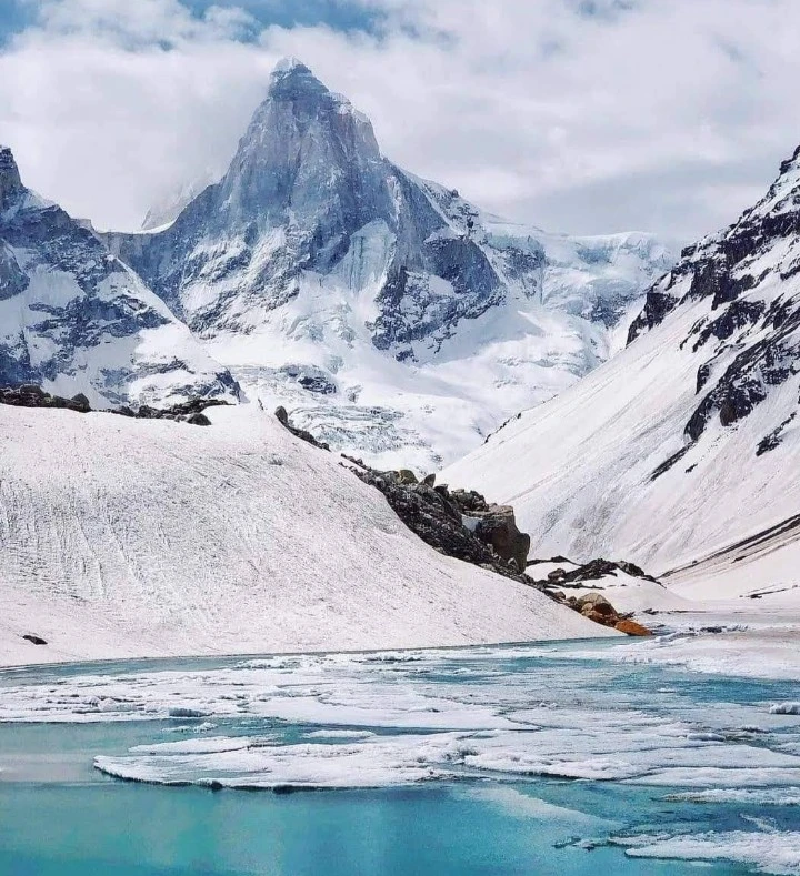
Thalay Sagar Peak lies in the Garhwal Himalayas, near the sacred town of Gangotri. The mountain rises above the Kedar Glacier and overlooks the stunning Kedartal Lake.
It stands at an elevation of approximately 6,904 meters, making it one of the prominent peaks in the region. However, its fame comes not from its height but from its extreme technical difficulty.
From Gangotri, the peak remains hidden for most of the journey. Only when you reach Kedartal does it suddenly appear sharp, dark, and almost unreal.
Why Thalay Sagar is Famous
Not all mountains earn respect the same way. Some impress with height, others with beauty. Thalay Sagar earns it through sheer difficulty.
Climbers often describe it as one of the toughest peaks in the Indian Himalayas due to:
- Extremely steep rock and ice faces
- Technical climbing routes requiring advanced skills
- Unpredictable weather conditions
- High risk of rockfall and avalanches
Unlike popular trekking peaks, Thalay Sagar does not forgive mistakes. It demands precision, experience, and mental strength.
Yet, for those who reach Kedartal, the view alone feels like a reward worth the effort.
The Kedartal Connection
The strongest connection between Thalay Sagar Peak and trekkers comes through Kedartal Lake.
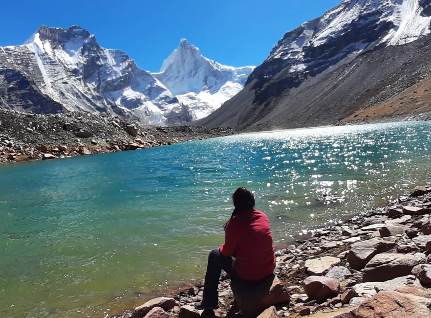
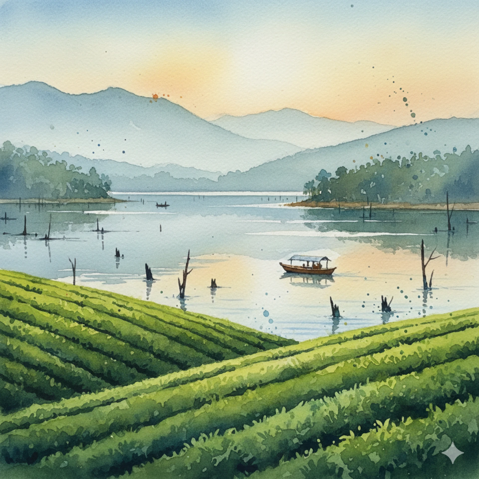
Kedartal sits at an altitude of around 4,750 meters and acts as the base viewpoint for the peak. The lake reflects the massive structure of Thalay Sagar, especially during calm mornings when the water turns mirror-like.
This connection matters because:
- Kedartal provides one of the closest accessible views of the peak
- It serves as a base for climbers attempting expeditions
- The landscape showcases the raw geological beauty of the region
Many trekkers reach Kedartal thinking the lake is the highlight. Then Thalay Sagar appears—and suddenly the lake becomes the supporting actor.
Trek Route to View Thalay Sagar
While climbing Thalay Sagar requires mountaineering expertise, seeing it up close is possible through the Kedartal trek.
Route Overview
Starting Point: Gangotri
End Point: Kedartal
Duration: 5-6 days (round trip)
Difficulty: Moderate to difficult
Day-wise Route Breakdown
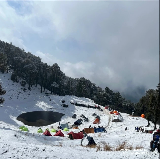
Day 1: Gangotri to Bhoj Kharak
The trail begins from Gangotri and climbs steadily through forests. You will cross narrow paths and landslide zones. The trail feels challenging from the start, which is a polite way of saying your legs will complain early.
Day 2: Bhoj Kharak to Kedar Kharak
The route becomes more rugged with fewer trees and more open terrain. You start getting glimpses of high peaks, building anticipation.
Day 3: Kedar Kharak to Kedartal
This is the most rewarding day. As you reach Kedartal, Thalay Sagar rises directly in front of you. No filters needed, no zoom required.
Return Journey: Same route back to Gangotri.
Best Time to Visit
Timing matters a lot in the Himalayas. Choose wisely, or the mountain will choose for you.
Ideal Months
- May to June: Clear skies, stable weather, good visibility
- September to October: Crisp views after monsoon, colder but cleaner landscapes
Avoid
- Monsoon (July-August): Landslides and slippery trails
- Winter (November-April): Heavy snow blocks access
During the best months, the reflection of Thalay Sagar in Kedartal creates one of the most iconic views in Uttarakhand.
Fascinating Facts About Thalay Sagar
Let’s look at some facts that make this peak truly unique:
- First Ascent: The peak was first climbed in 1979 by an Indo-American team
- Shape: It has a near-perfect pyramid structure, which makes it visually striking
- Climbing Grade: Considered extremely technical and suitable only for expert climbers
- Rock Quality: The rock faces are brittle, increasing climbing risk
- Photographic Appeal: One of the most photographed peaks from Kedartal
Interestingly, despite its popularity among climbers, Thalay Sagar remains relatively unknown to casual tourists.
Difficulty Level: Trek vs Climb
It is important to separate two things here trekking to Kedartal and climbing Thalay Sagar.
Kedartal Trek
- Moderate to difficult
- Requires good fitness
- No technical climbing needed
Thalay Sagar Climb
- Extremely difficult
- Requires advanced mountaineering skills
- Needs permits, guides, and proper equipment
So if you are planning your first Himalayan trip, aim for Kedartal. If you are planning to climb Thalay Sagar, you already know what you are doing.
Flora, Fauna, and Landscape
The journey to Thalay Sagar through Kedartal offers diverse landscapes.
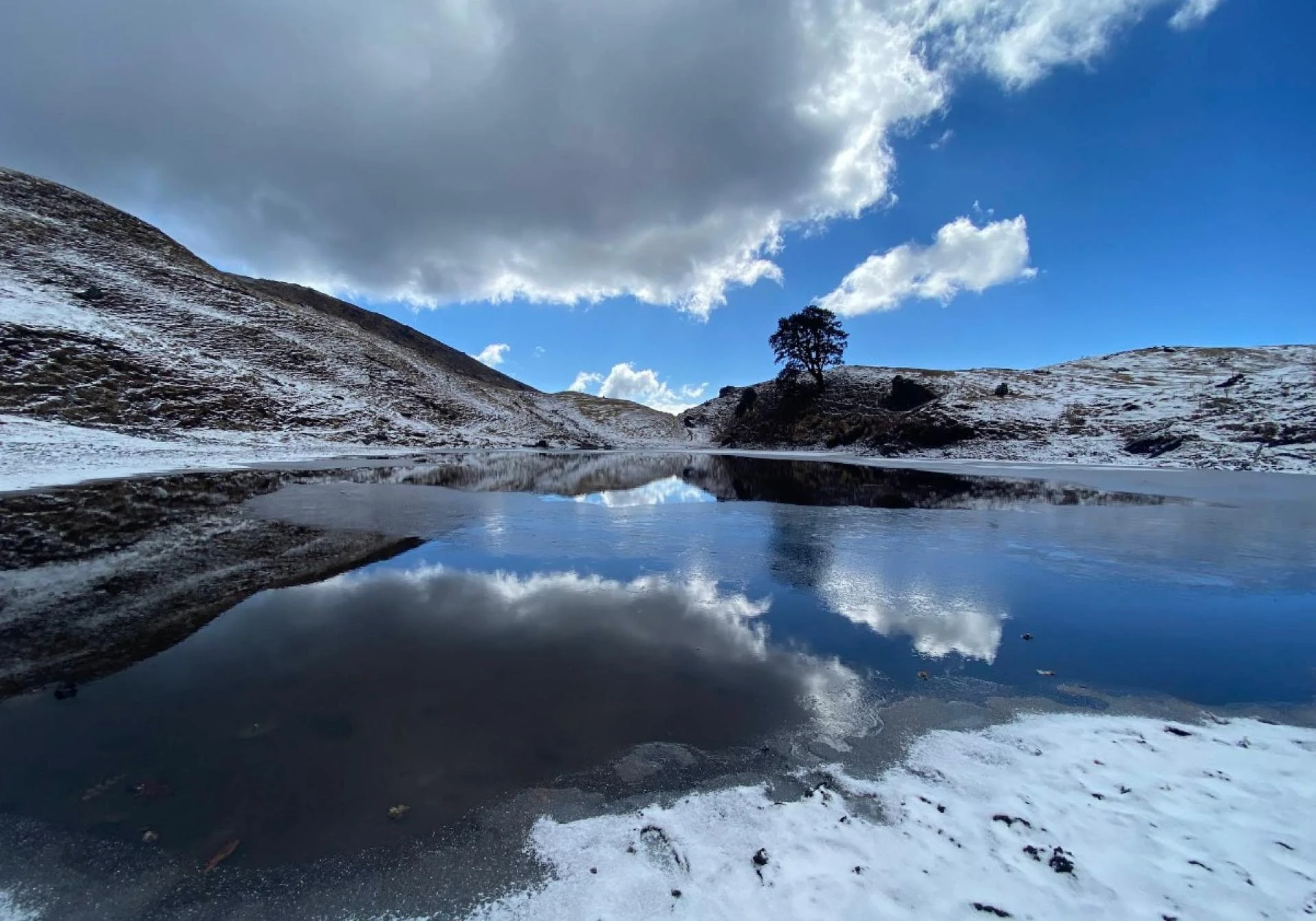
In the lower regions, you walk through forests of birch and pine. As you gain altitude, vegetation fades, and the terrain turns rocky and barren.
Wildlife sightings may include:
- Himalayan blue sheep (bharal)
- Mountain birds like snow pigeons
- Occasional fox sightings
But let’s be honest, most people spend their time looking up at the peaks instead of spotting animals.
Safety Tips for Trekkers
The Kedartal trek is not a casual walk. It demands preparation.
Here are some essential tips:
- Acclimatize properly in Gangotri before starting
- Carry sufficient water and high-energy snacks
- Wear sturdy trekking shoes with good grip
- Avoid trekking during bad weather
- Hire a local guide if you are unsure about the route
Altitude sickness can affect anyone, so listen to your body and do not rush.
Why Thalay Sagar Leaves a Lasting Impression
Some mountains impress you for a moment. Thalay Sagar stays with you long after you leave.
Maybe it is the way it suddenly appears at Kedartal.
Maybe it is the silence around it.
Or maybe it is the realization that nature still holds places where humans feel small.
Unlike crowded tourist spots, this region offers raw Himalayan energy. No cafes, no network, no distractions just mountains and your thoughts.
How to Reach the Base Region
To begin your journey, you need to reach Gangotri.
Step by Step Access
- Reach Dehradun by flight or train
- Travel to Gangotri via Uttarkashi by road
- Start the trek from Gangotri
The road journey itself offers stunning views of the Bhagirathi River and mountain valleys.
Final Thoughts
Thalay Sagar Peak is not just another mountain in Uttarakhand. It represents the wild, untamed side of the Himalayas.
For trekkers, it offers one of the most dramatic views in the region through Kedartal. For climbers, it stands as a serious challenge that demands respect.
If you plan to explore this region, go prepared. Respect the terrain, trust your instincts, and take your time. The mountain is not going anywhere but your experience depends entirely on how you approach it.


Sign in to leave a comment.